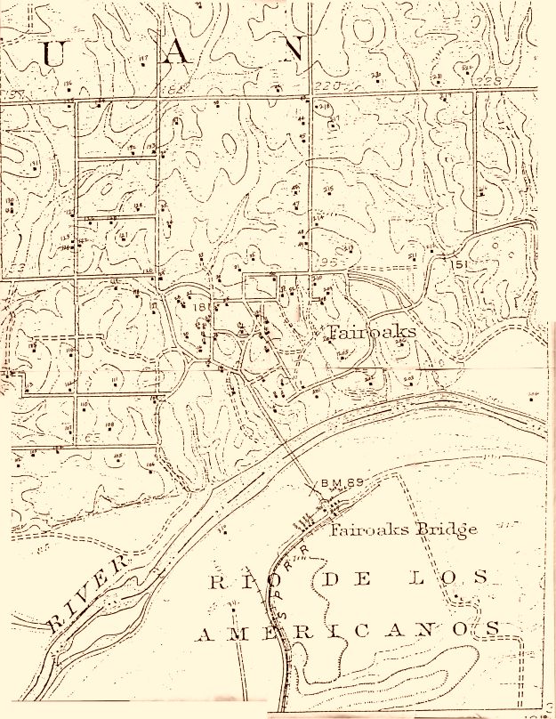
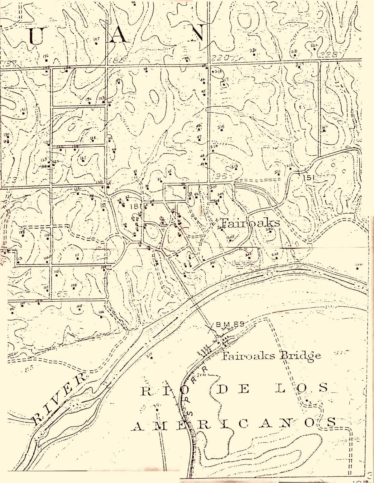
In 1908, the USGS surveyed and mapped Fair Oaks and surrounding areas. iIn 1911 they updated the map and added more structures. The black dots were put on the map by the USGS and represent structures.
Several Fair Oaks Historical Society members began a project to identify as many of the structures as possible. The numbers on the map were put on by the FOHS members as an index to the identity of the structure. To view the identified structures, Click here. To view a larger map, Click here.
If you can identify any of the currently unidentified structures, please let us know.