
Fair Oaks Historical Society
Virtual Walking Tour
Virtual Walking Tour
Stop 1 - Entrance Street
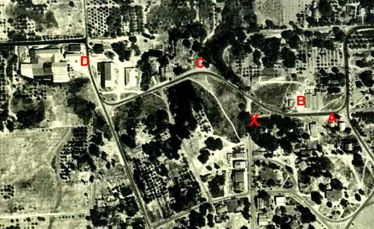
When you get to the corner and the Town House ("X"), check out the aerial photo at left
showing the area to the north and west. "A" marks the History Center, "B" is the
lumberyard, and "X" is where you're standing. The loop over the top (C - D) to Winding Way
didn't exist. The whole area was reconstructed when the Sunrise Bridge and Sunrise
Blvd. were constructed in the 1950's. Before that, you'd turn southwest ("C") down
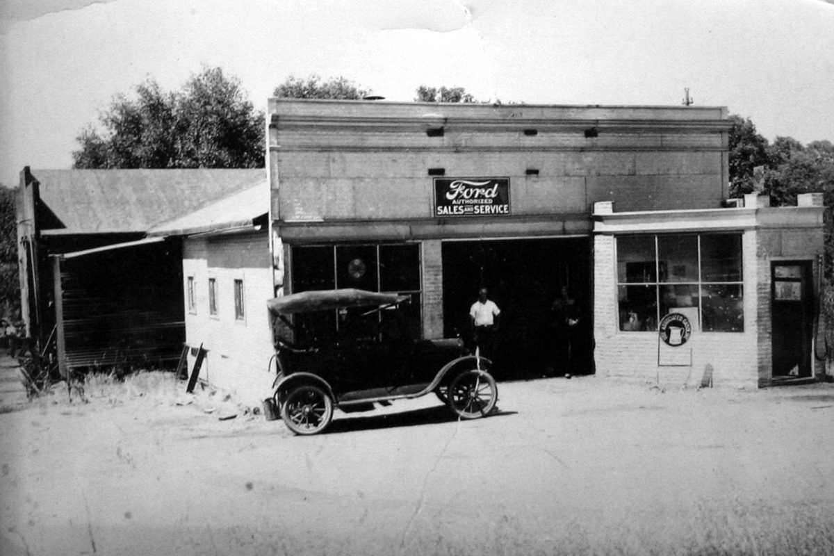
Entrance Street, go past Sim Green's Garage and Immer Rice's Blacksmith Shop to Wilson
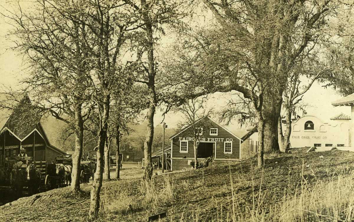
Street (now Sunrise Blvd.) and go north to the Fair Oaks Fruit Company and Olive Grower's
complex ("D").
