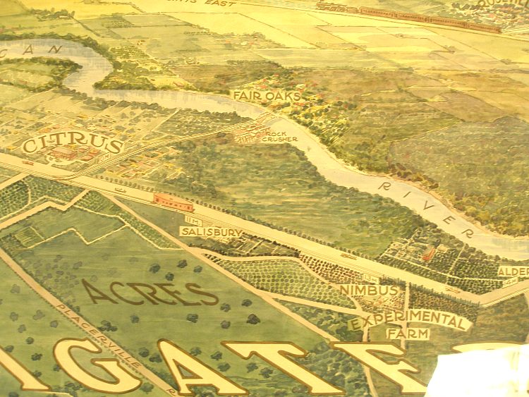
Fair Oaks Area, 1915
 If I (the FOHS webmaster) had to pick a favorite map, this would be it.
It's a
painting done by the Natomas Company to show at the 1915 World Exposition is San
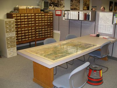
Francisco. The Sacramento Archives was kind enough to bring it out, lay it on
a table, and provide me a step-stool to stand on and photograph it. Actually,
I'm using the copy from the Sacramento History Online website because it was
better than mine, but the thought was there on the part of the always friendly
SAMCC staff.
As usual, we've cut out the portion that relates to Fair Oaks. You really
should look at the
whole picture .
If I (the FOHS webmaster) had to pick a favorite map, this would be it.
It's a
painting done by the Natomas Company to show at the 1915 World Exposition is San
Francisco. The Sacramento Archives was kind enough to bring it out, lay it on
a table, and provide me a step-stool to stand on and photograph it. Actually,
I'm using the copy from the Sacramento History Online website because it was
better than mine, but the thought was there on the part of the always friendly
SAMCC staff.
As usual, we've cut out the portion that relates to Fair Oaks. You really
should look at the
whole picture .
The picture gives a good overall view of what the agriculture was in 1915.
It's interesting that Orangevale is left out of the picture entirely. We
guess that since Natomas Company didn't own Orangevale, they didn't consider
it important enough to include. On the great town of Citrus, located to the
south of Fair Oaks, it was a planned development that never panned out.
You probably won't notice, but the Natoma Station has been relocated
about halfway between its old location and the city of Folsom (you can
see it on the big map at Sacramentohistory.org), and its
original location renamed the Nimbus Station. That's why
the new Natoma Station (where all the discount stores are) and the
Nimbus Winery (at Hazel and Folsom Road) have their current names.
Fair Oaks - 1950